Portland to Goose Lake and the (not quite) thriving metropolis of New Pine Creek, which straddles the CA border, and is evidently the furthest south you can go in OR due to a surveyors mistake.
The birds are here by the thousands! Geese of many flavors, ducks, coots, and loads of others I don't even know. The music they were all making this evening was fantastic, and the human background noise was minimal- that's refreshing.
The drive was long, but entirely bearable. I started at 7:40 am, and arrived around 3. The state park campground is still closed for the season- ppppppth! Nov thru April it's closed- but when are the birds here??
If you just need some "stuff", you might find it here! (open hours undetermined):

Storefront in New Pine Creek (OR)

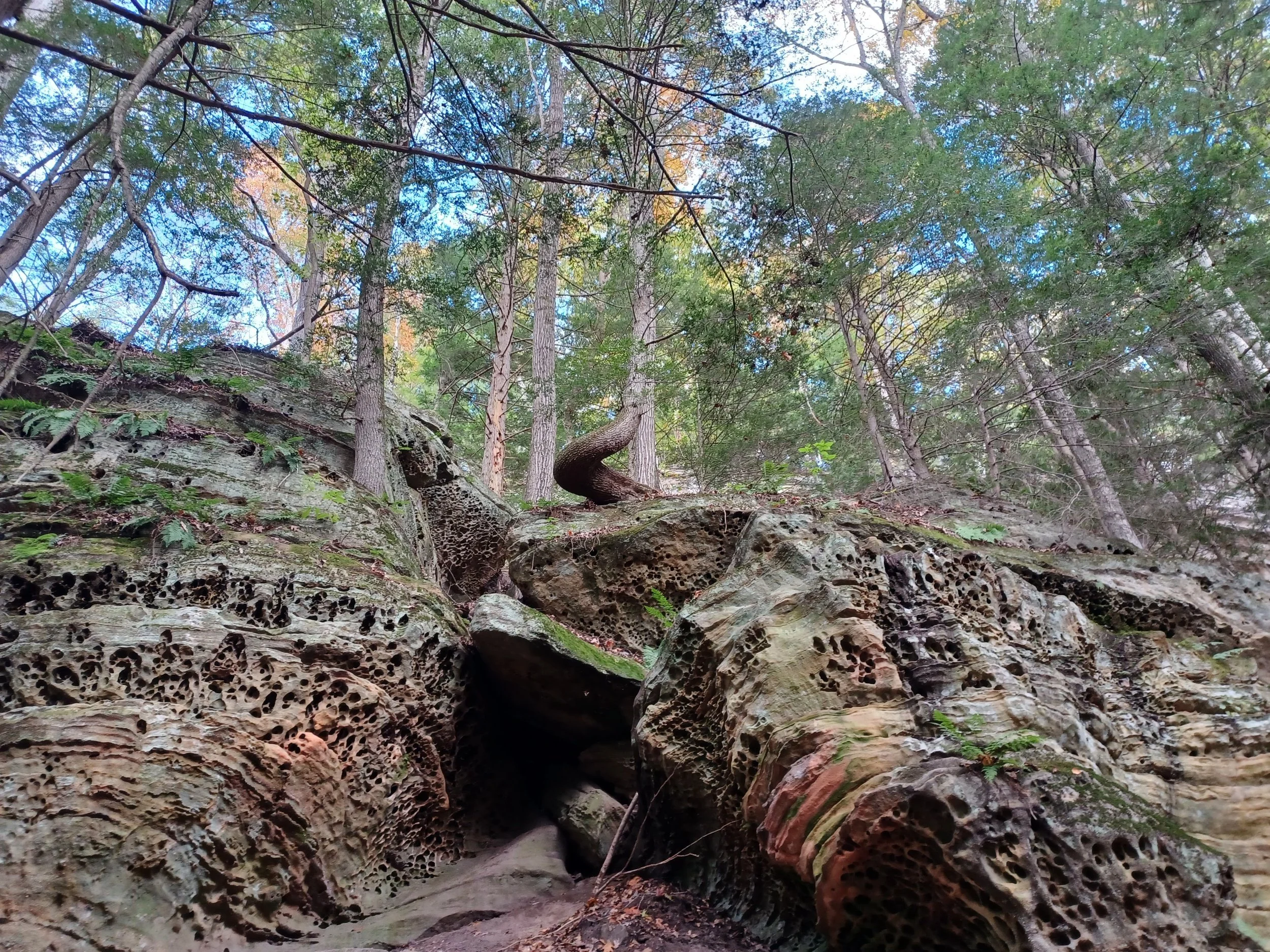
Just north of Bishop CA is a great corner of woods with rock formations all around. We camped here last time, so I grabbed the same spot- since I'm just passing thru this time, I didn't want to make it complicated. I explored the trails/ roads on my mountain bike more this time, there are some really neat areas/ even closer to the river.
The sunshine is fabulous! The price of Diesel is insane, most places are over $7 per gallon. The fuel on the reservations is less- when you can find them….

Next up Anza Borrego Desert State Park, which by the way, is huge! I drove past the Salton Sea on the way, because it's weird. The story is far more complicated than I thought. But the lake was created by an accident on the Colorado river in 1905, but somehow was billed as a resort community in the 1950s. It must have been a sketchy idea even back then, as there are great swaths of neighborhood infrastructure with no houses- It was surreal to see Dolphin Dr. with only a street, and desert weeds. I'll bet you could get a deal on real estate here!
The approach to Anza Borrego is hot, interesting, hot, arid, hot and there are loads of (hot) trails to explore. It's been unseasonably hot, which immediately killed off any hopes of catching some late wildflowers. The erosion pattens in the washes is interesting, there are a lot of different rocks (colors, sizes, textures) all mixed in a mud that’s now eroding away.

The stars are amazing- even if there's a moon.

Tucked away in a canyon for the night. I got to watch a band of 7 swallows catching bugs. Their acrobatics are amazing. It was interesting that one was "talking" up a storm, while the others weren't. Then they had shift change, and the little bats came out.

I had to flee the badlands of Anza Borrego. The heat, intense sun was just too much for me. I'd be just hiding all day, better to move on. Leaving westward, I found as I went up in elevation, the landscape changed to more of a traditional desert- they must get (a little) more rain here. There are grasses, blooming plants, and loads of cacti.


A most excellent camp in the San Jacinto National forest- even shade trees and a mere 85 degrees.

The Yucca plants had these enormous blooms, that look like 8 foot asparagus until the flowers pop out at the top.

As I explored the 4WD trail, I found an even better campsite. I found a spot under the tall pines and discovered these cones are the size and weight of pineapples! This is a Coulter Pine with 8-10 lb. cones- now that will hurt if it falls on you


The clouds have a way of making everything look small- even the mountains.


I drove to Joshua Tree National Park, where I found…… Joshua Trees :) fancy that. They are always wildly weird, super cool and now even blooming- well some are. The brochure says that it's advisable to ride your bike only on unpaved roads, as the paved roads have no shoulder. Wait- the dirt roads don't either. Emboldened by the numerous cyclist that I saw today, I struck out to get some exercise while exploring- it was great! Maybe because there aren't that many people.


Cholla cactus seem to be trying to bloom. They sure look huggable- better not.


So, yesterday I made a plan for today, and that worked out pretty well. I decided to get up early and go to the lost horse mine area. That looks a little remote on the map, has a loop hike around 5.3 miles and is on the way to a lookout/overlook. After that, I'll find somewhere to make lunch, then explore the 4WD road, likely the Geology road, where I can go for an explore bike ride. Oh, yea, that way I can beat the heat of the day with an early hike.
When I got to the trailhead, I was alone- great start. The sign said the loop was 6.3 miles, ok. The trail wandered thru a lot of Desert plantscape- Joshua trees, yuccas, and a lot of flowers including blooming Cacti- nice!
Most of the wildflowers are pretty, but impossible to photograph well (unless you just want to catalog them), So I enjoyed them for what they were. The cactus with red flowers (maybe the claretcup?) really caught my eye, and I photographed loads of essentially the same thing. The beavertail cactus were there too, but not so prolific.
Tiny Lupine, and the birds were totally fun to watch and guess who they are- I was proud to ID the mockingbird his calls and habits.
Oh, yea, a cool hummingbird visited me in camp yesterday. She was very bronze- no other identifiers.
The lost horse Loop ended up 6.9 miles, and 3.5 hours, so I was a little tired when I finished at 11:30, and really surprised to see the parking lot full!
The overlook was also full, and crowded, so I moved on to make lunch at the backpackers trailhead parking. That was much better. Somewhat recovered, I thought it would be good for a little cardio on the Geology tour road- I really should know better. I can't remember taking it easy on a ride for more than a few minutes. This ended up being an 18 mile workout with loads of elevation gains/ losses, and sand traps! Yes, it was a great ride- I recommend it :)
So do I have a plan for tomorrow? Kind of- I see an interesting trail- Panorama Trail I think, on the way out of the park. Then I'll have cell service again, so maybe I can actually post this? Or at least let Susan know I'm ok :)