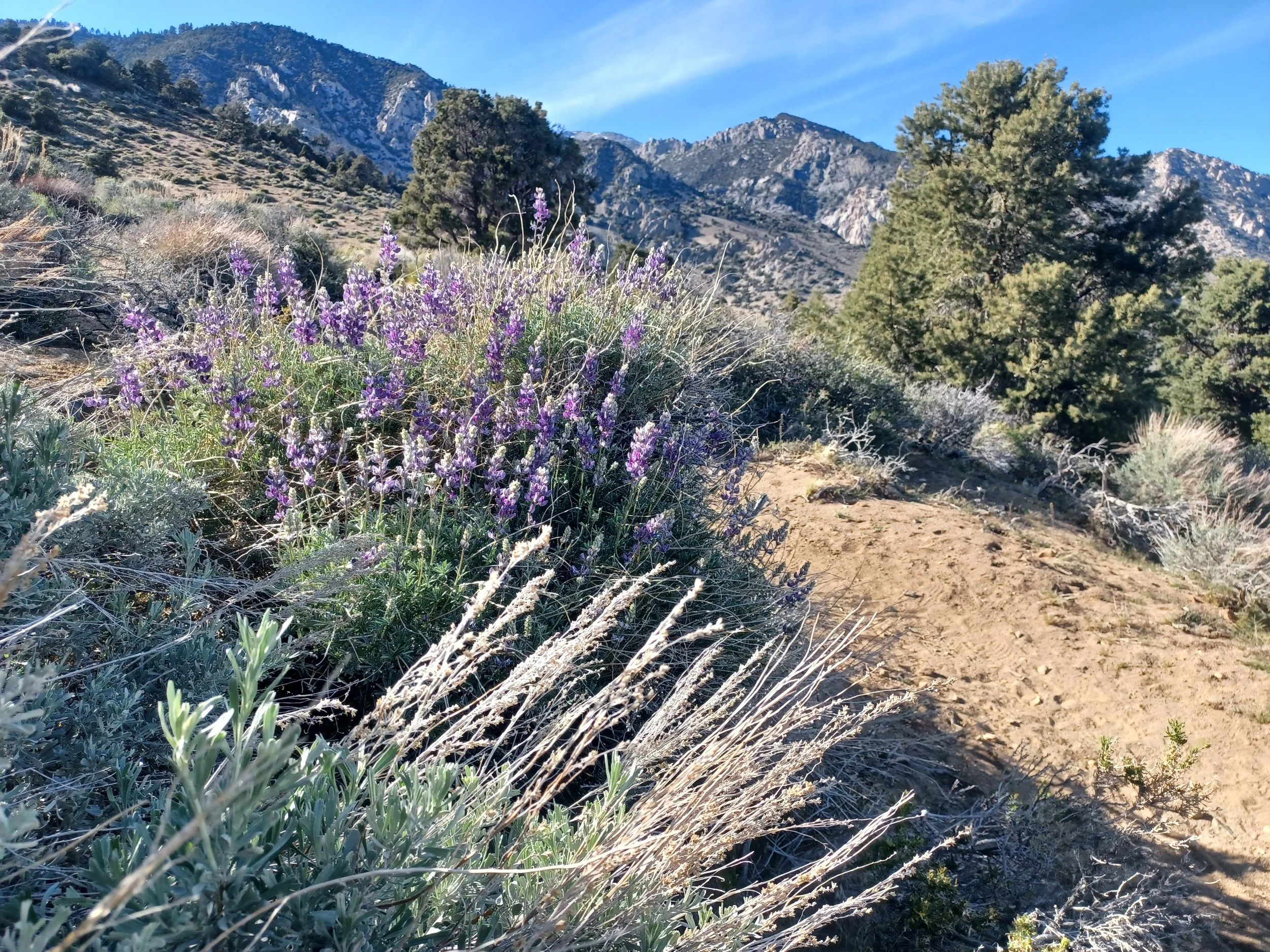
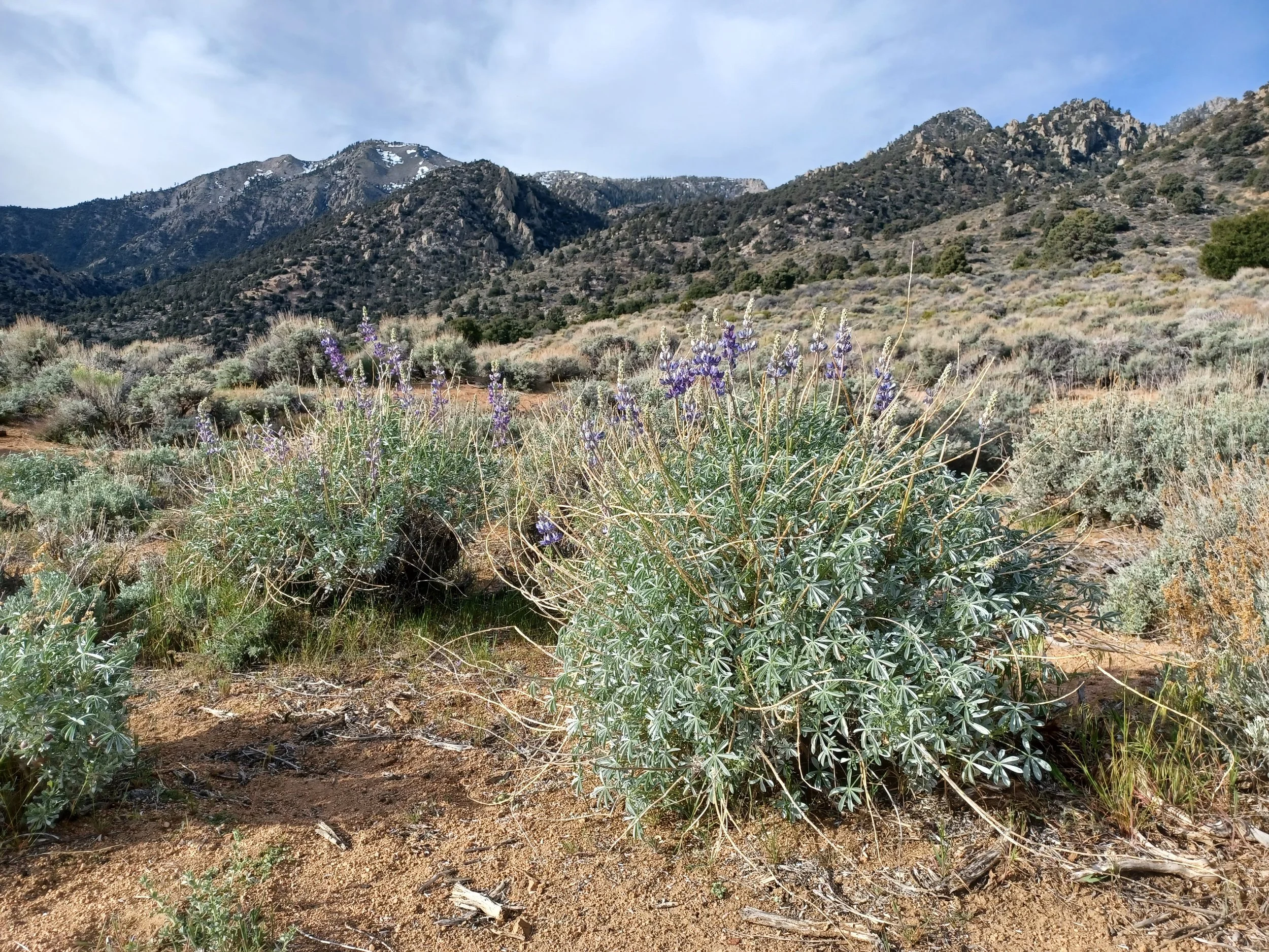
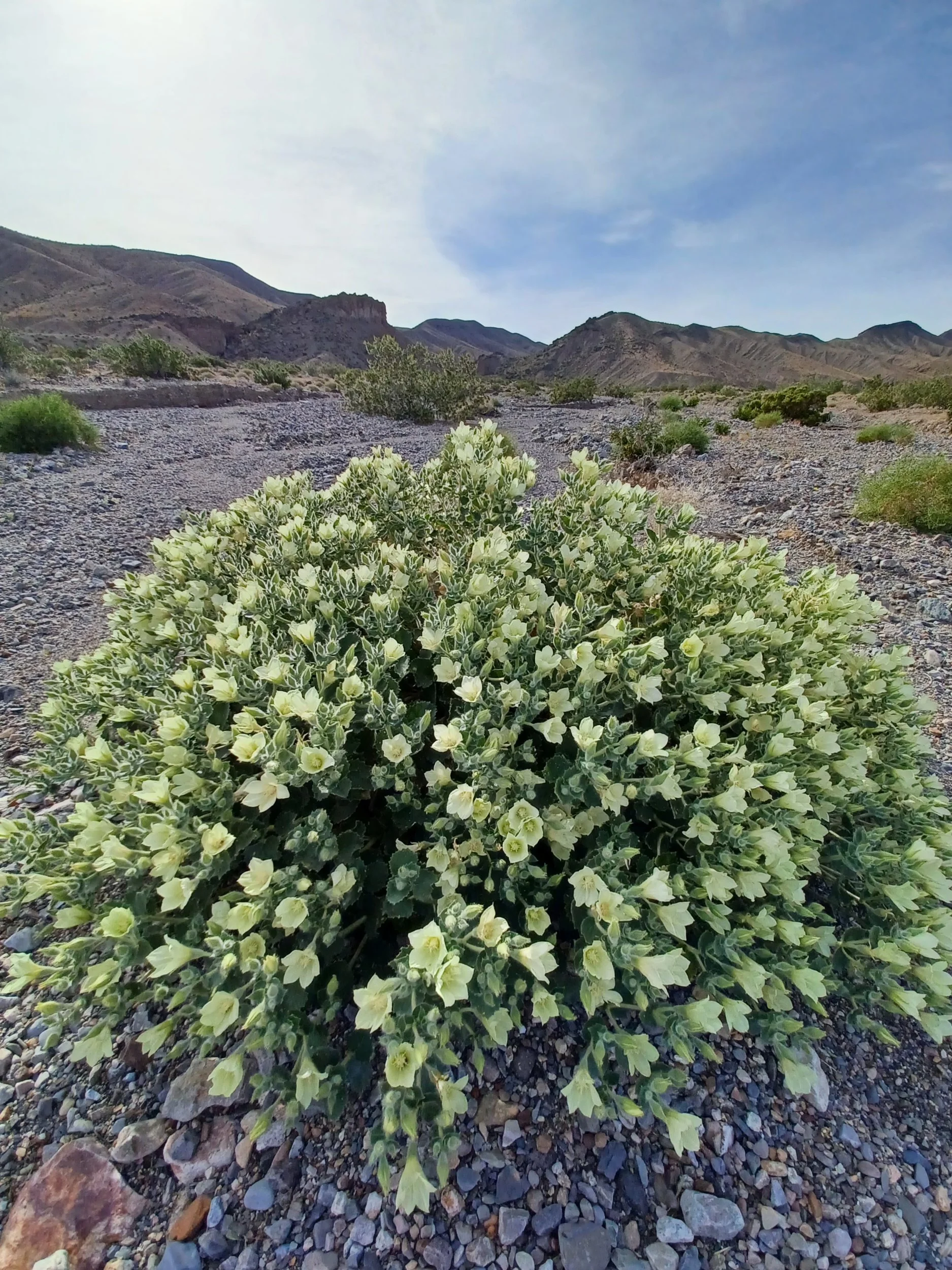
Here's a wonderful bloom from my venture into Death valley national park.
Is it possible to post from my phone? Hmmm, the possibilities! Well, that's a success!
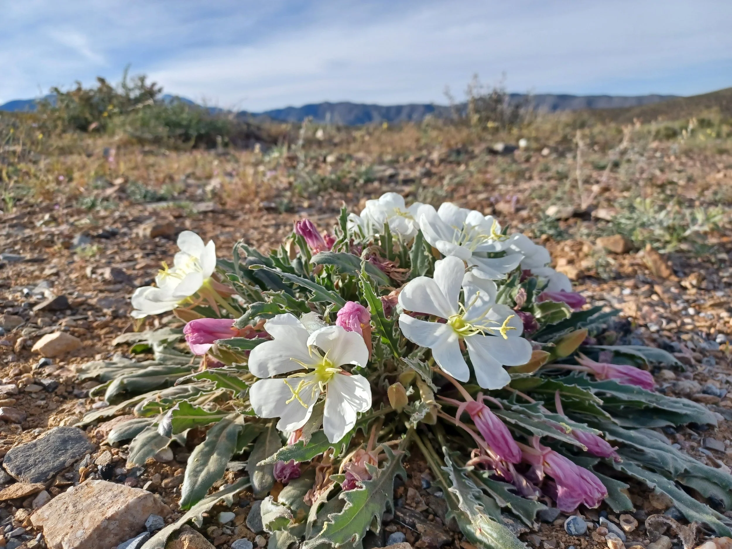
Here's a wonderful bloom from my venture into Death valley national park.
Is it possible to post from my phone? Hmmm, the possibilities! Well, that's a success!
Wildrose campground, Death Valley NP, gateway to Telescope peak. According to Dave :)
The campsites are in Wildrose canyon which was a base for CCC workers during the great depression. They did work in the national monument at the time. You can still see a few buildings left, and several sets of stairs that lead to nothing. Nature is taking the land back! There's a spring here so there are some trees, with birds. The Mourning doves keep zooming thru like they're in a race. It reminds me of the old air races- likely from a film, I never saw that in person. The wild burros are here also. They roam the entire valley towards Telescope peak, but the water is here, so I think it's home for them. We learned in 2024 when we were here, that the miners left the burros behind when the Borax mines pulled out. They didn't die off as expected and now roam the park as residents.
I was coerced by my fitbit to get in a bike ride, I need something obnoxious like 285 cardio load- maybe my "readiness level" is high because I've been slacking?- but I haven't been….. So I rode up the road toward the charcoal kilns. I thought I may be able to reach them, but the elevation was incessant, and it was hot for a ride. Anyway I wore myself out with a 12 mile ride. Since I'm out of cell range- I don't even know if I met my cardio load goal! Drat.
The drive to the Telescope peak trailhead is a 4WD adventure, narrow one lane with a few pullouts. It's a wonder that it works.
There are two more campgrounds along that route- excellent! Wildrose is nice, on the paved road, and sunny- totally great at his time when the temps are upper 70s. The sun in intense though. The flies seem to enjoy the climate here too.
I didn't make it to Telescope peak, as it's a 7 mile one way with a lot of elevation, but the 4 miles out and return was a fantastic hike. A few wildflowers were eking out an existence, but the pinon juniper forest giving way to bristlecone pines was great. The trail makes its way around a peak, then follows the ridgeline with incredible views of both the Panamint valley to the west, and Sierras as a backdrop, and Death Valley (and Badwater basin) to the east- incredible! I didn't make it to nearly 11000 foot summit, but form 9,612 feet looking into the lowest elevation in the US (-286 ft.) is amazing. It actually brings into some perspective the superlatives of Death Valley NP.
There's a row of Charcoal kilns along the way that were built to reduce the Pinion pines to charcoal. They were only in use for 3 years. I'm thankful it was short lived and they didn't decimate the Pinion pines! It's also a testimate of something- that they would build such infrastructure for such a short lifespan.
I totally enjoyed the vast night sky last night- a trillion stars overhead! (or more- I didn't count)
A lone Hummingbird flashed in to say hello, then vanished. There was one hummer near my camp yesterday too, but she was claiming her territory in a tree snag kind of nearby. Maybe has a nest there?
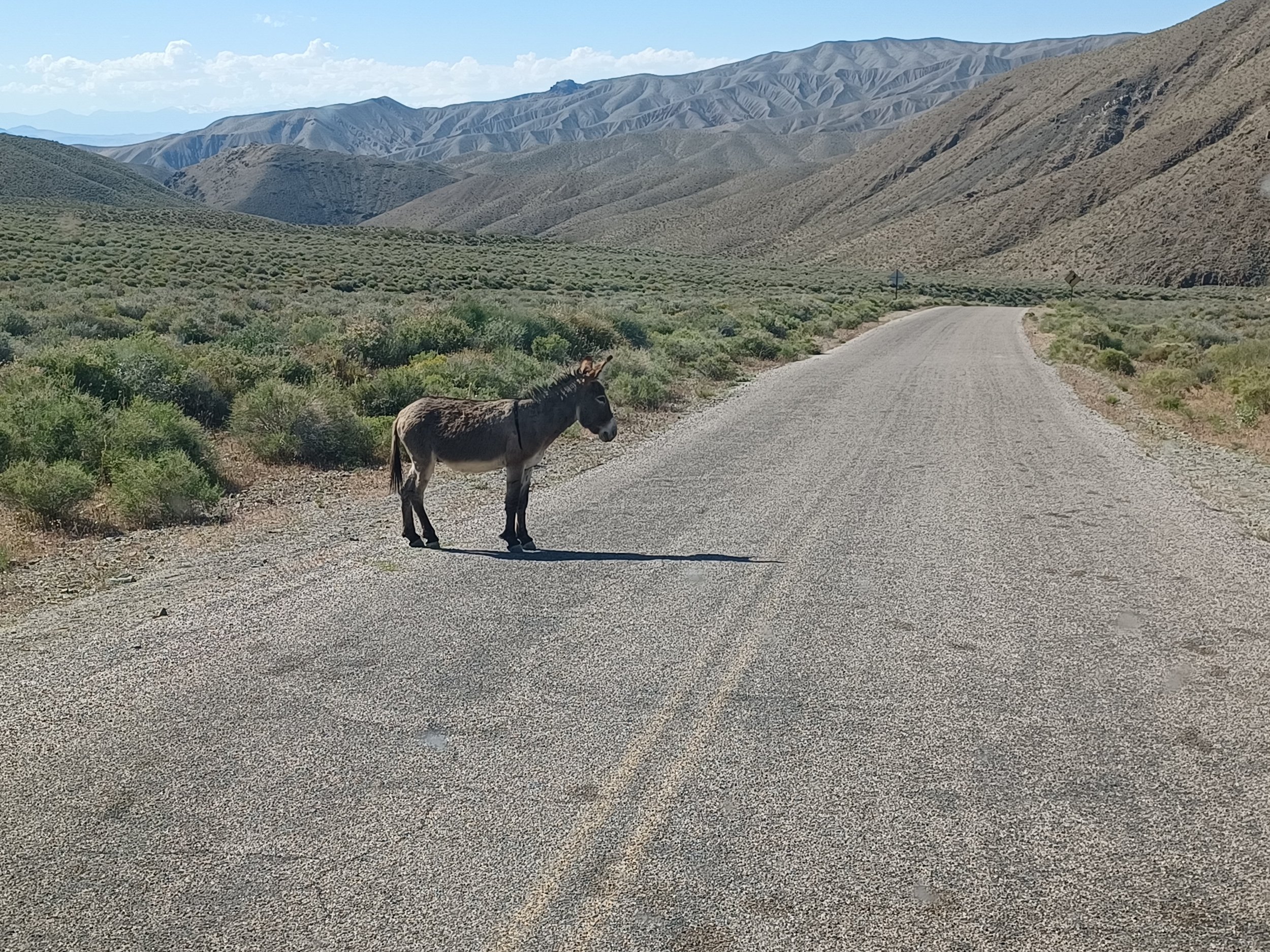
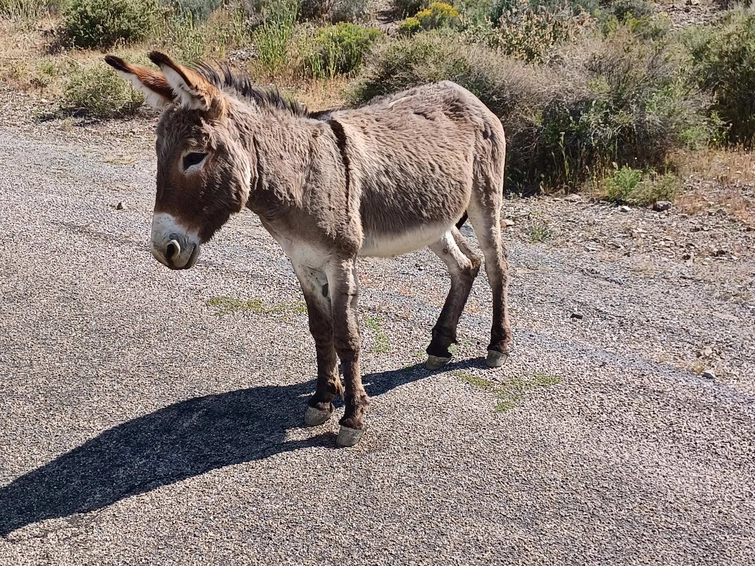
Burro, kind enough to share his roadway with me.
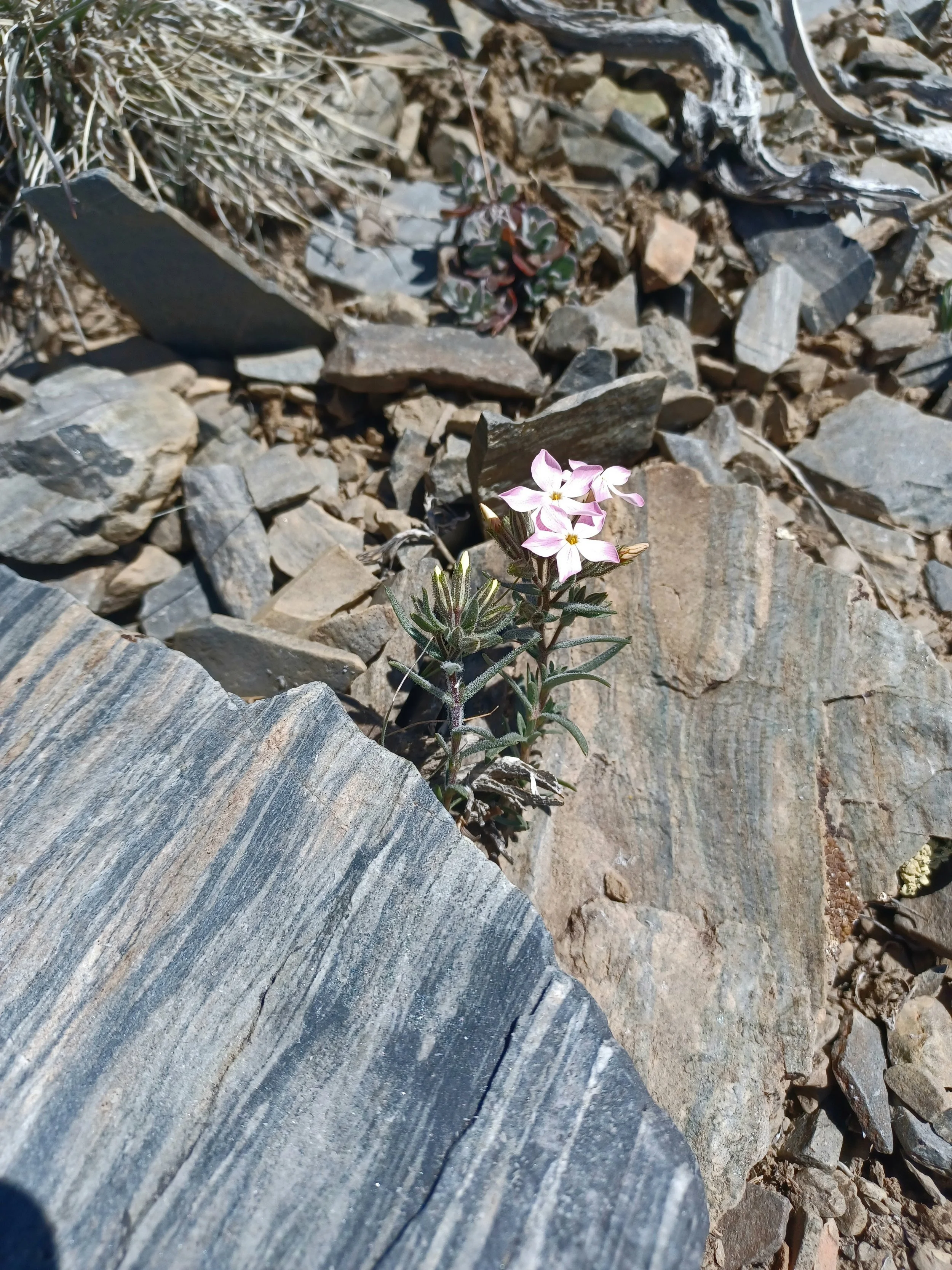
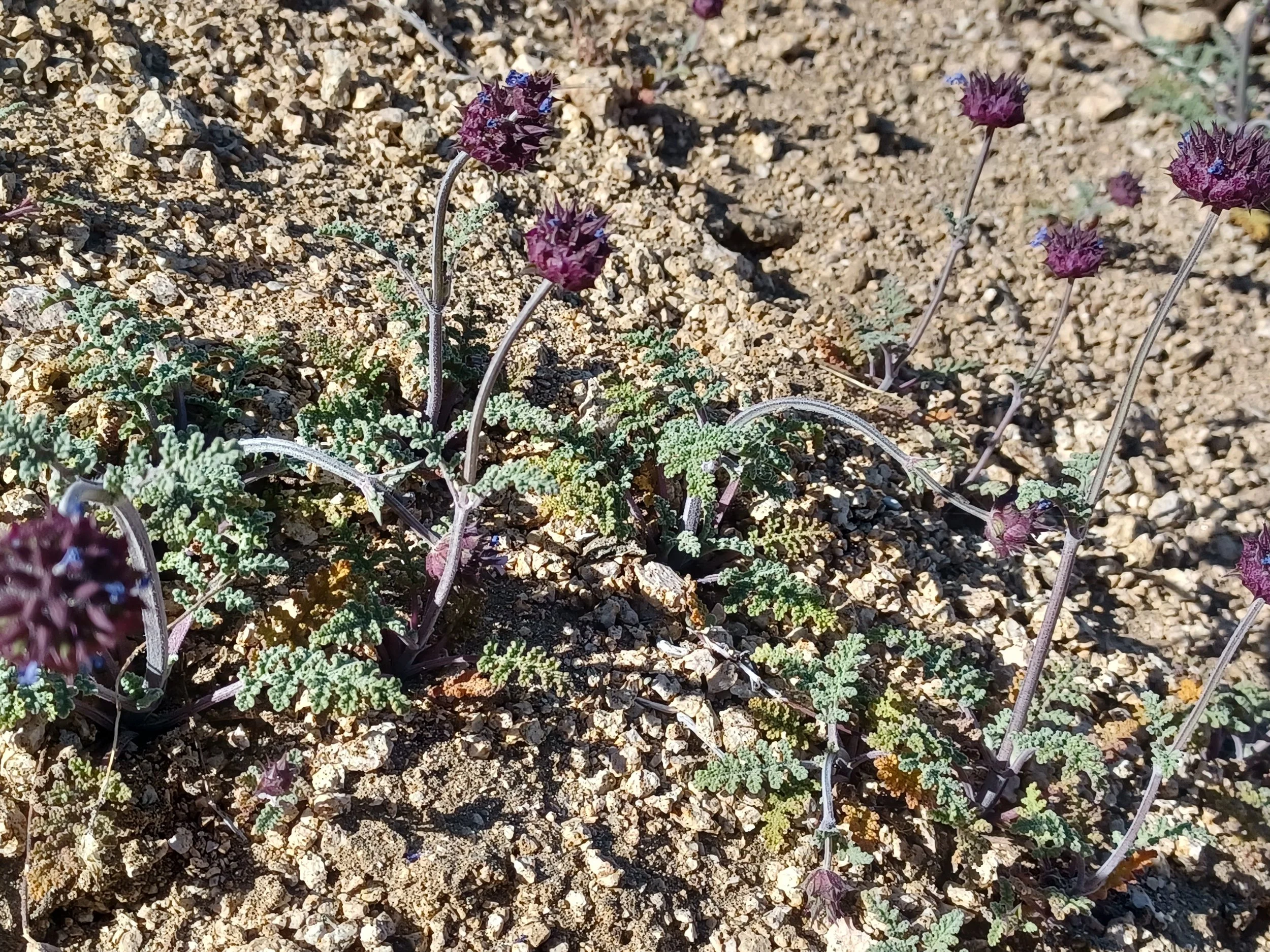
Alpine wildflowers
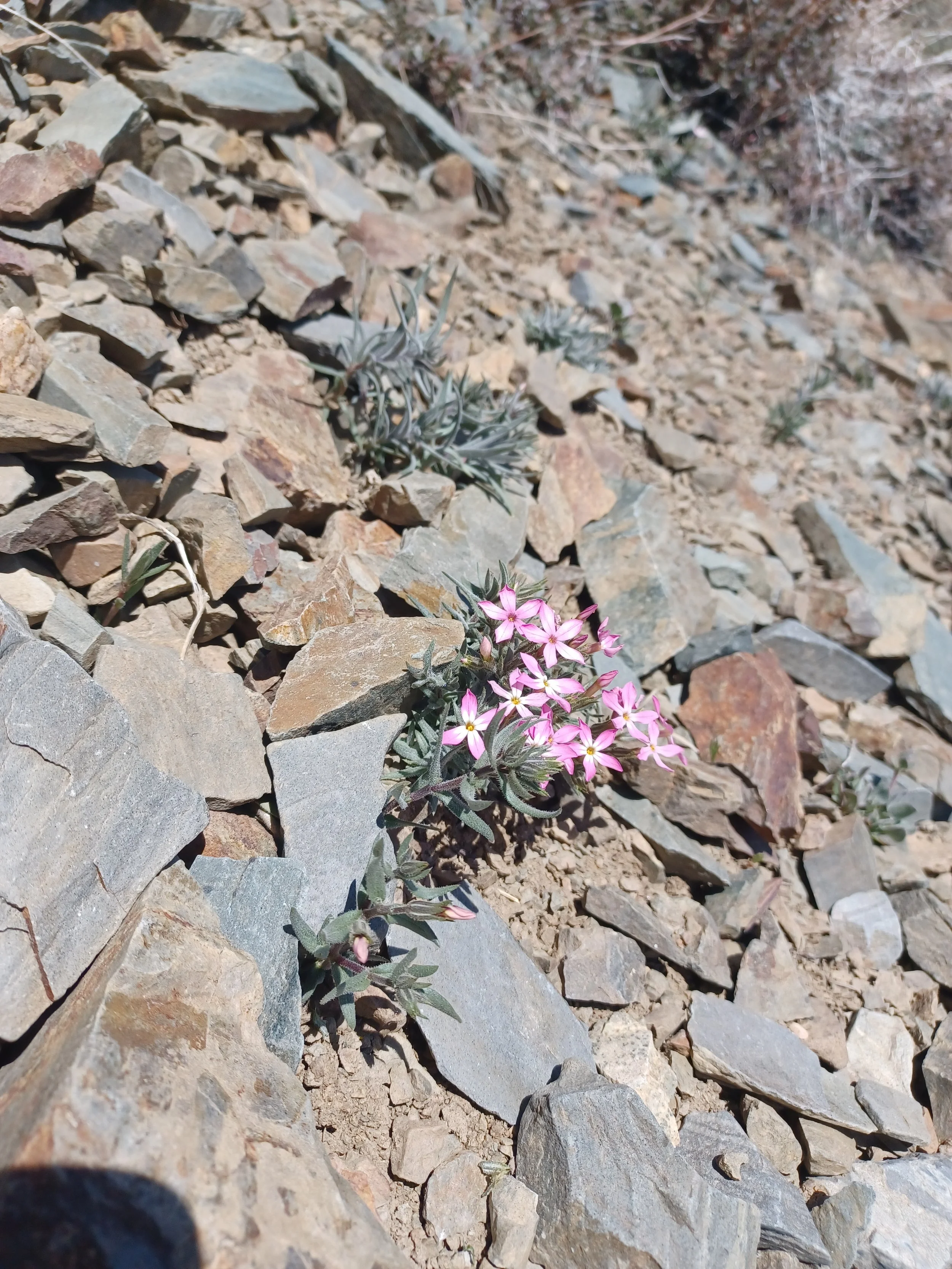
Alpine wildflowers
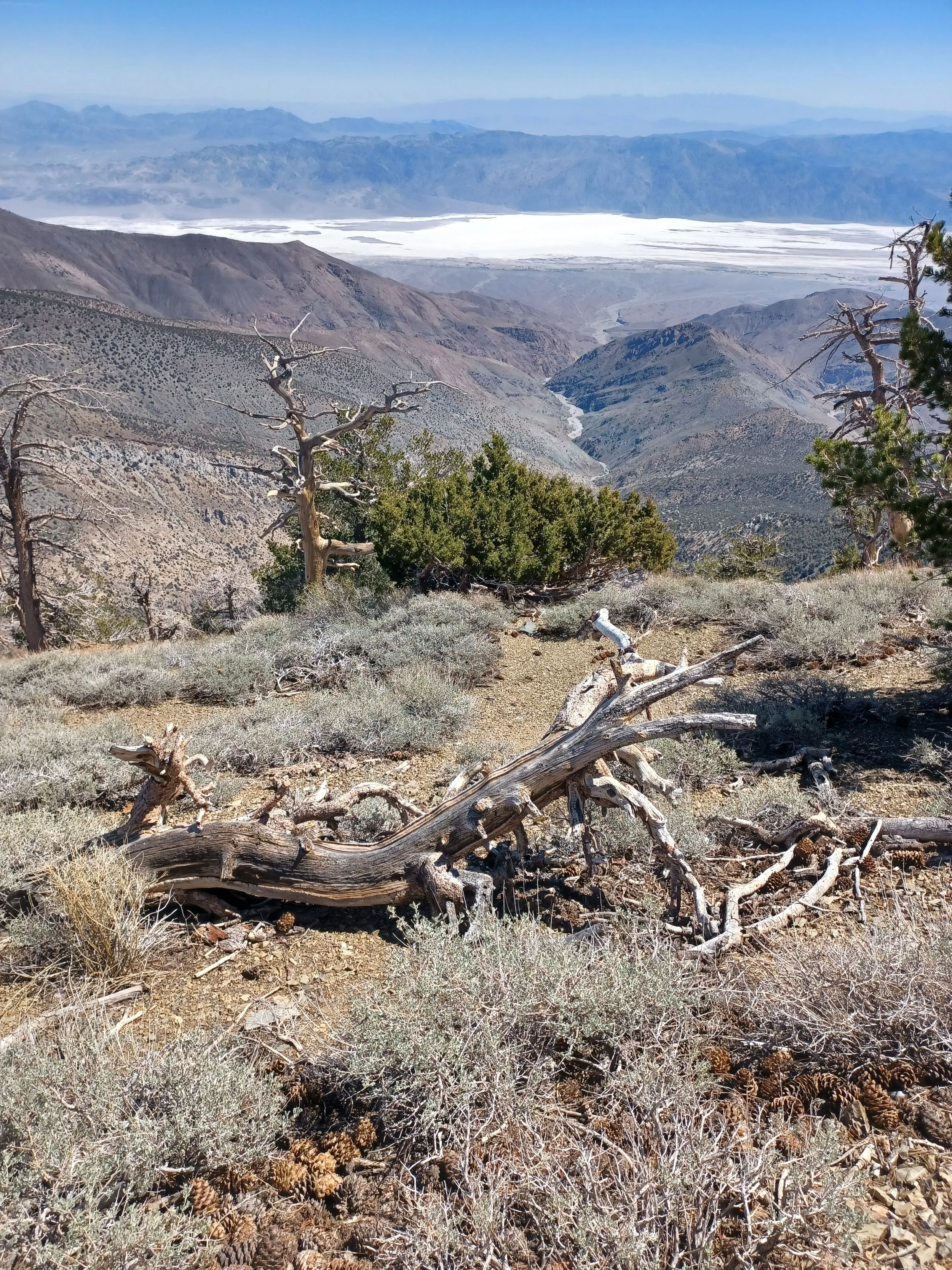
View into Death Valley and the Badwater basin
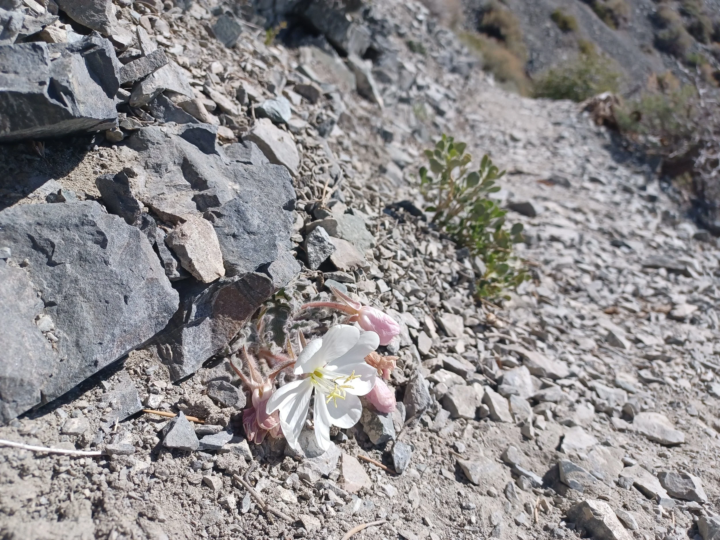
A trailside alpine wildflower
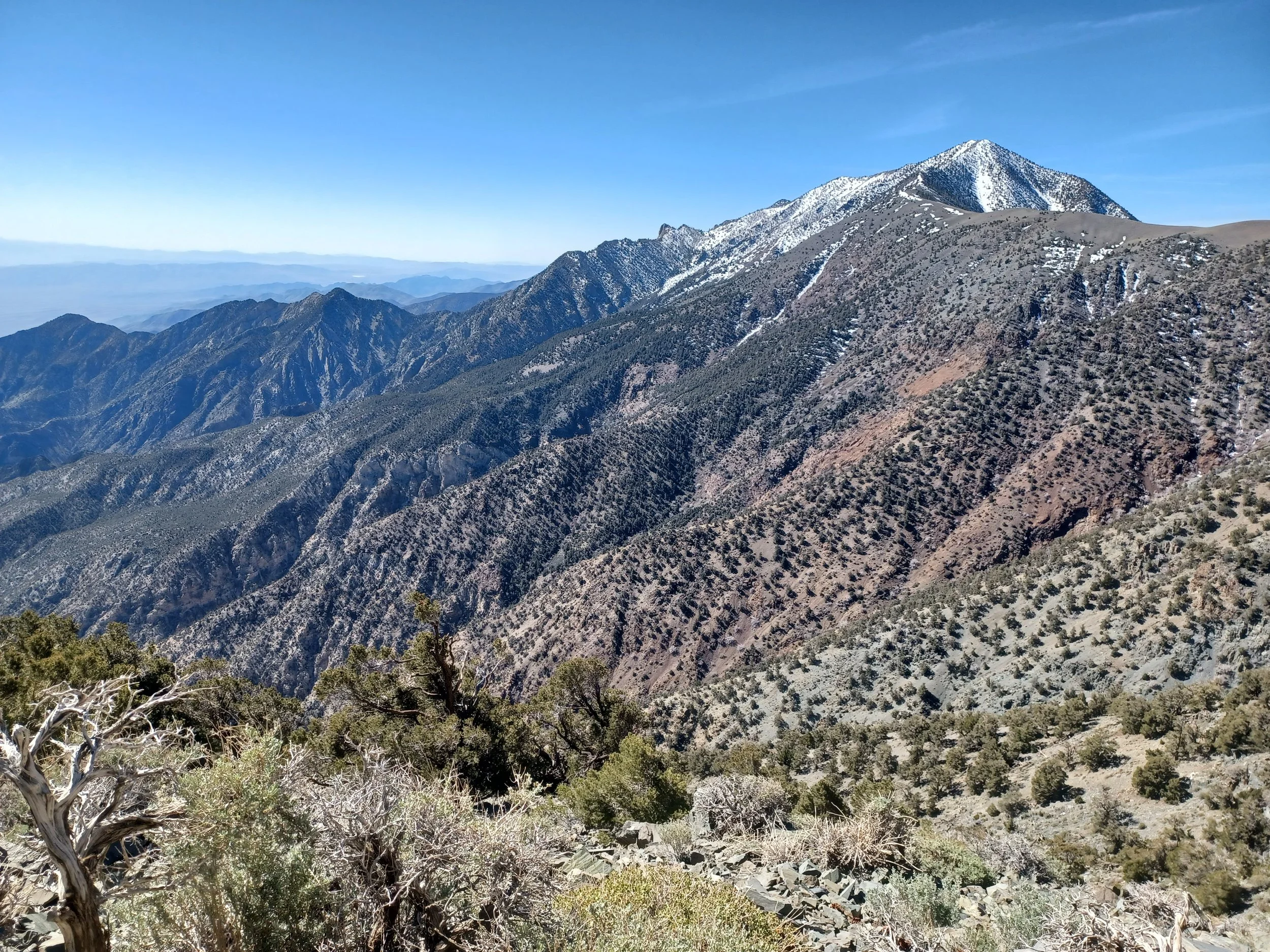
Telescope Peak and the ridge that I hiked to- right of the peak.
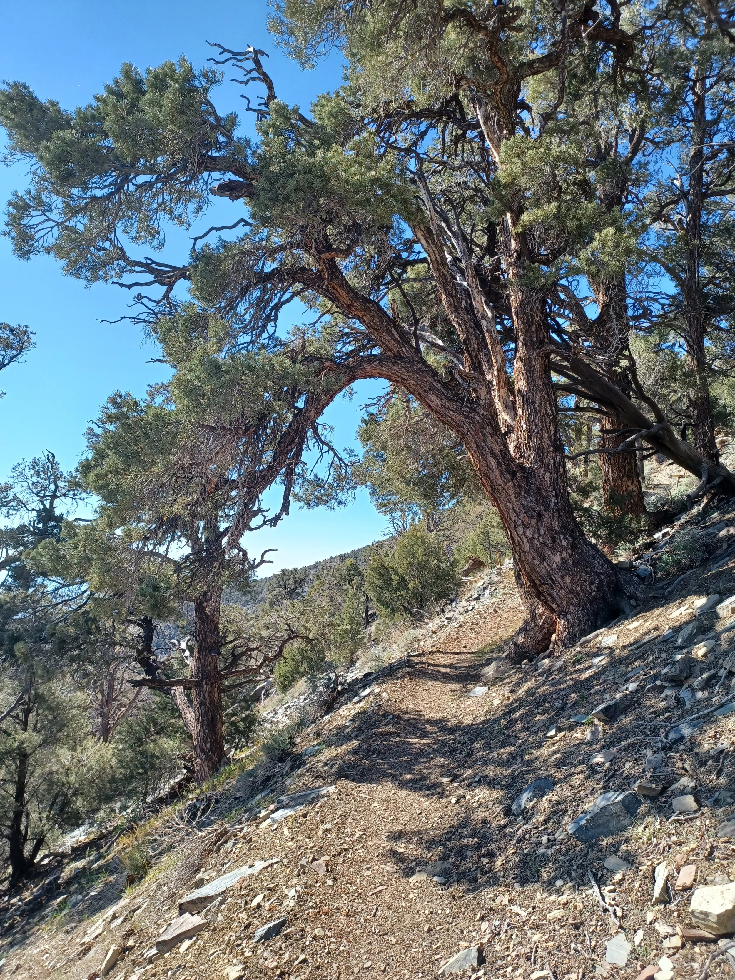
Bristlecone pines
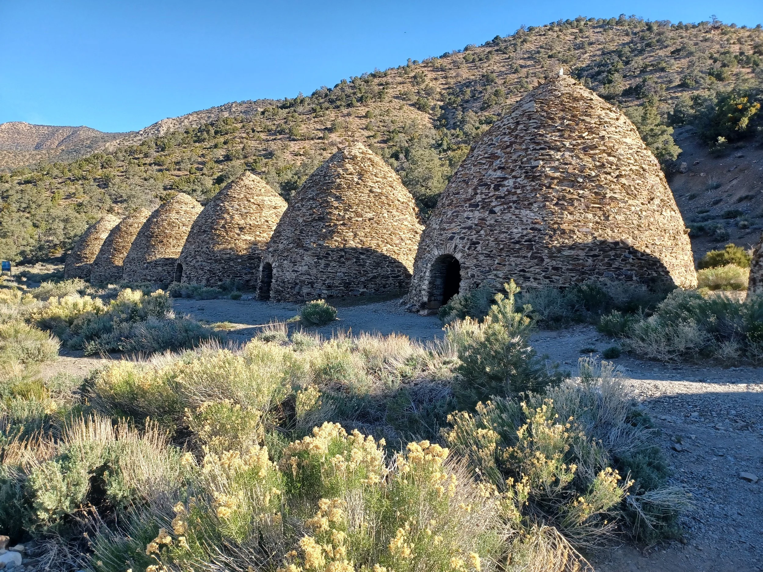
Charcoal kilns
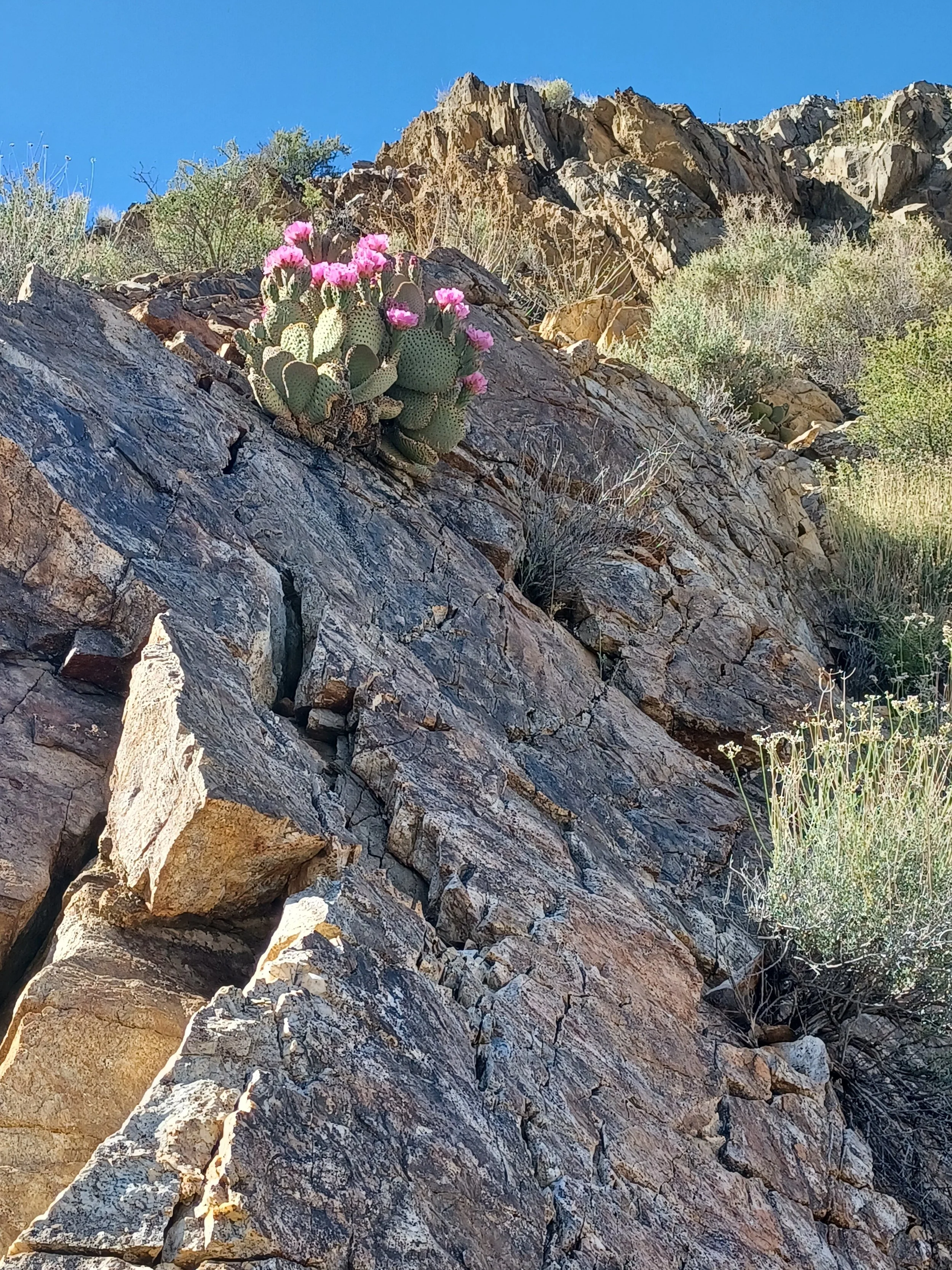
beavertail cactus near camp
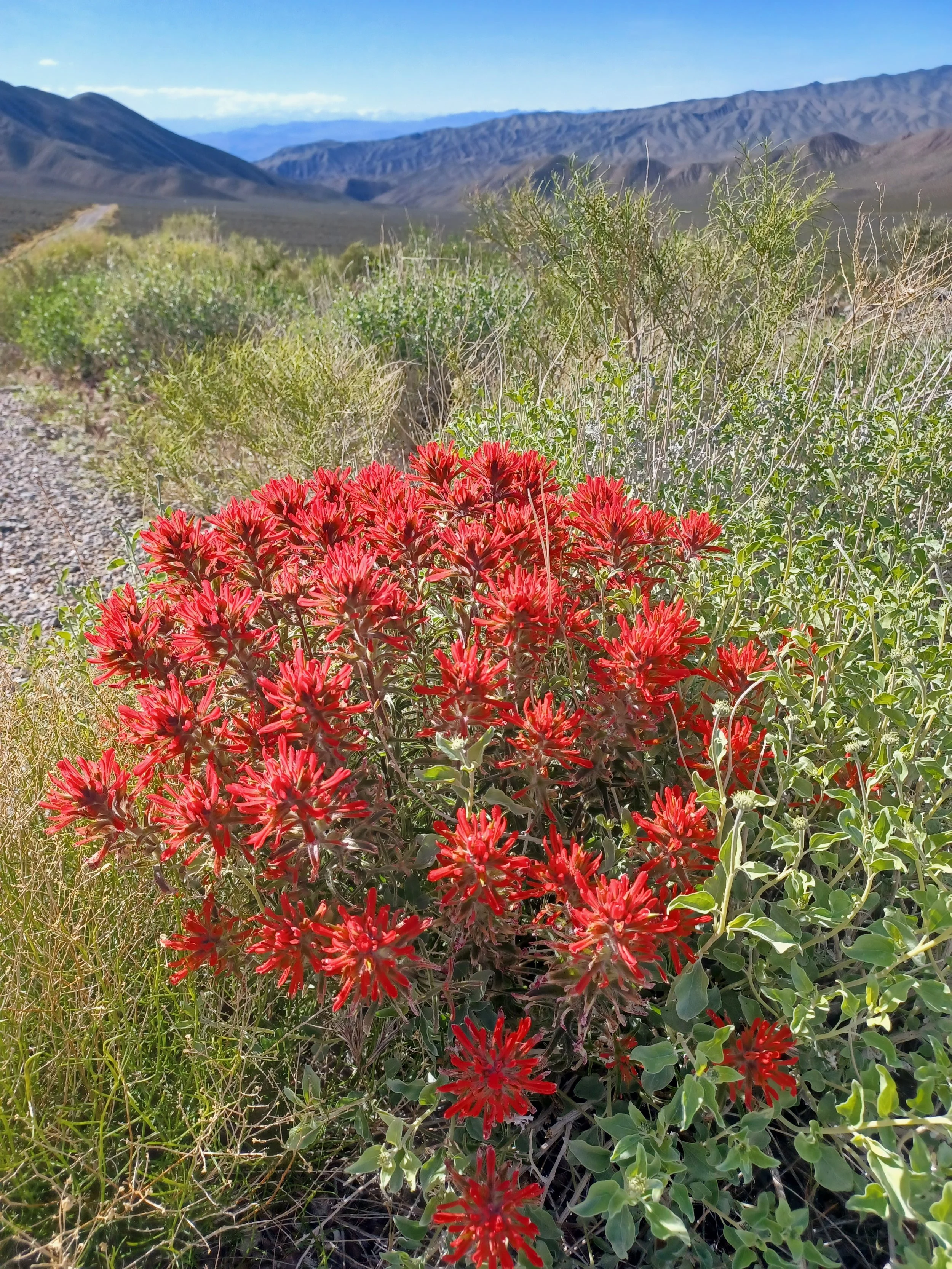
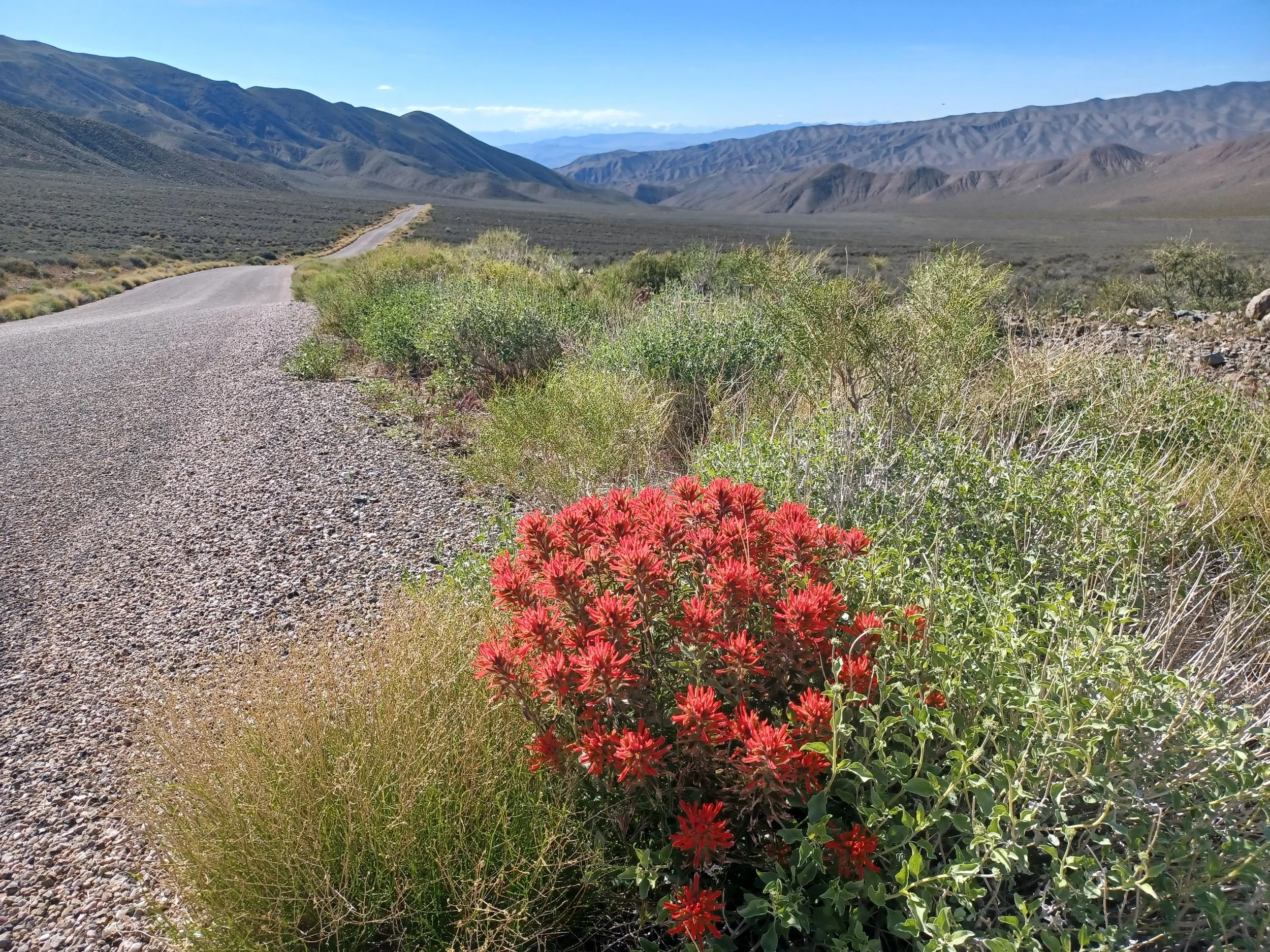
I paused my decent for these Indian Paintbrush
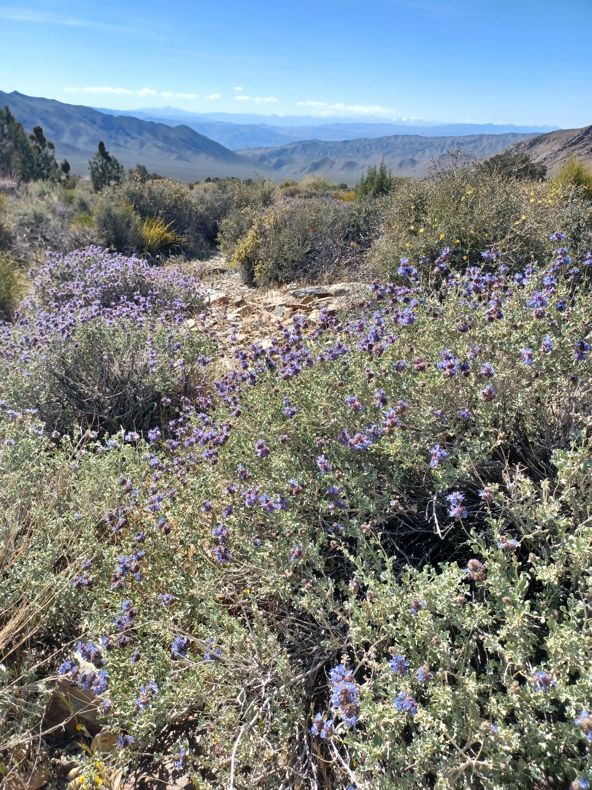
Well, hello there!
4/6,
Another quiet day allowing me to catch up- it's amazing how much catching up is needed!
There's a billion flies making my life a little challenging.
I think a few more birds, bats or lizards would be nice- take out some of these pests. At least they're not biting pests!
Another distraction- jets just flew over- fun! On the way into Ridgecrest, a F18 came over the ridge, treetop level and flew down the road towards me- cool! Just one.
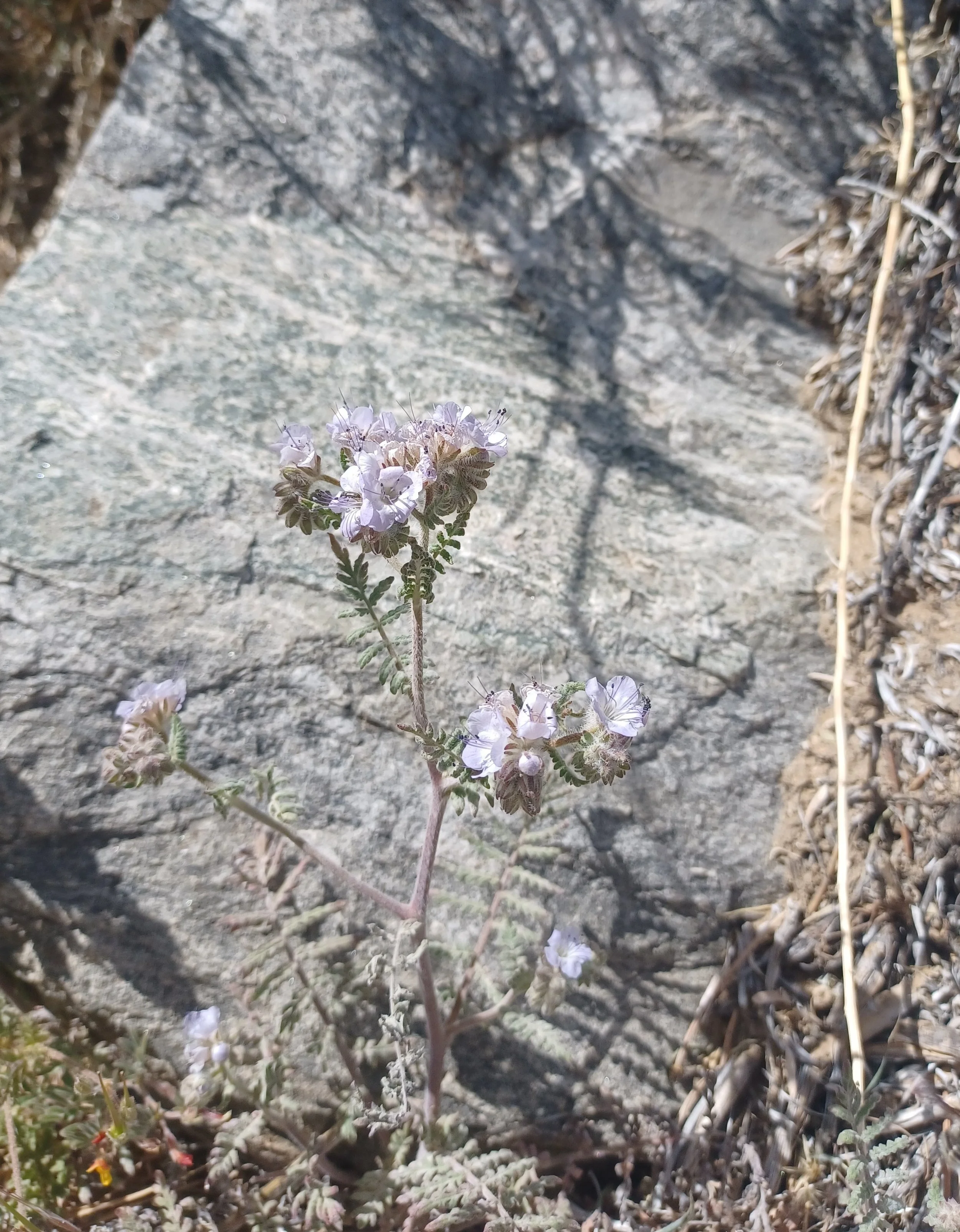
Yesterday I found my way to the Olancha pass trailhead. It's a nice place at the base of the Sierras. The trail is steady and steep, yesterday was 2.5 miles, 1800 feet elevation gain, that's a workout. There are plenty of wildflowers, but they're miniature for the most part. There seems to be a competition between the desert and alpine zones for the most miniature and dispersed wildflowers.
Last night the stars were amazing! When they're so clear and bright, I can see how they were used for navigation, which is mindboggling in its own.
I'm enjoying watching the birds, and using the Merlin app to help identify them. Most are pretty common, but that's still fun. Somehow they know when the app is open because they quit talking.
It's stunning that Diesel is around $7.50 per gallon- I was complaining when it was over $5. the tools that we have are amazing though, with the gas stations including prices available on google maps. That sure helps optimize the trip and minimize the cost. I really don't like to be chasing around for the lowest price, I end up spending the $ on extra fuel to find fuel…. It's hard to imagine navigating and planning without google maps any more.
Ok, let's find some pics….
The desert wildflowers , much like alpine flowers seem to hide in plain sight. Miniature, sparce and often lost in the rest of the shrubbery.
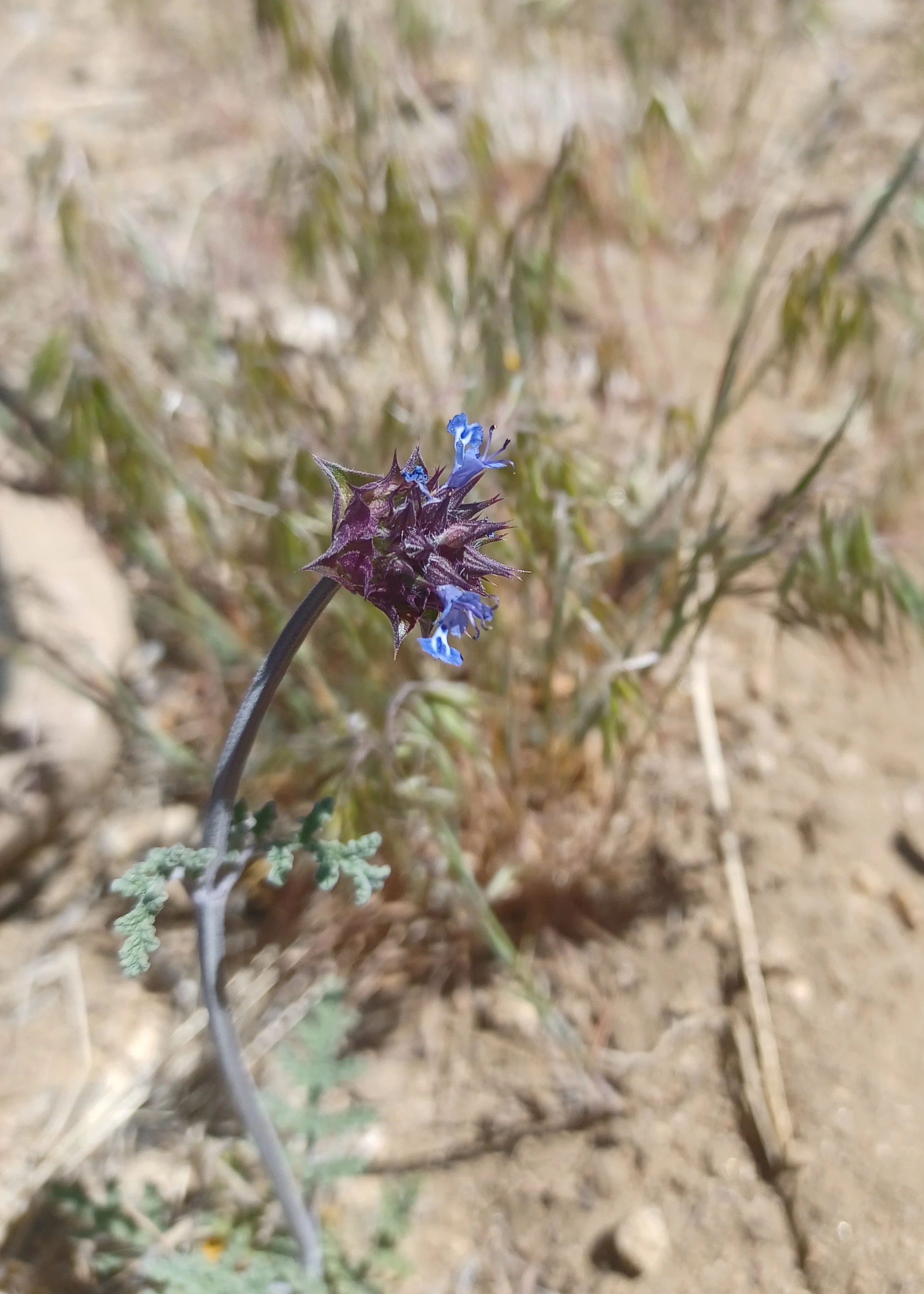
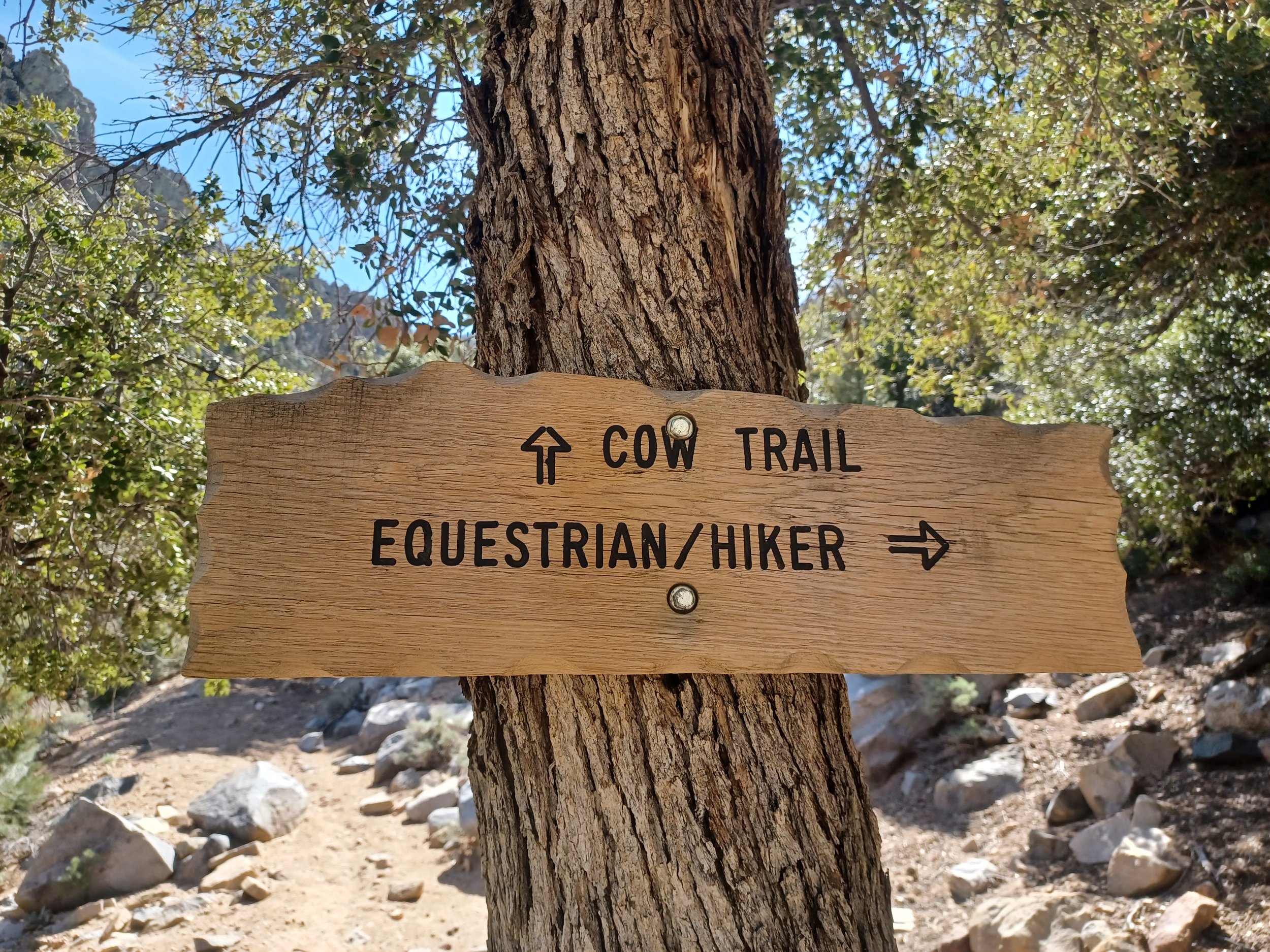
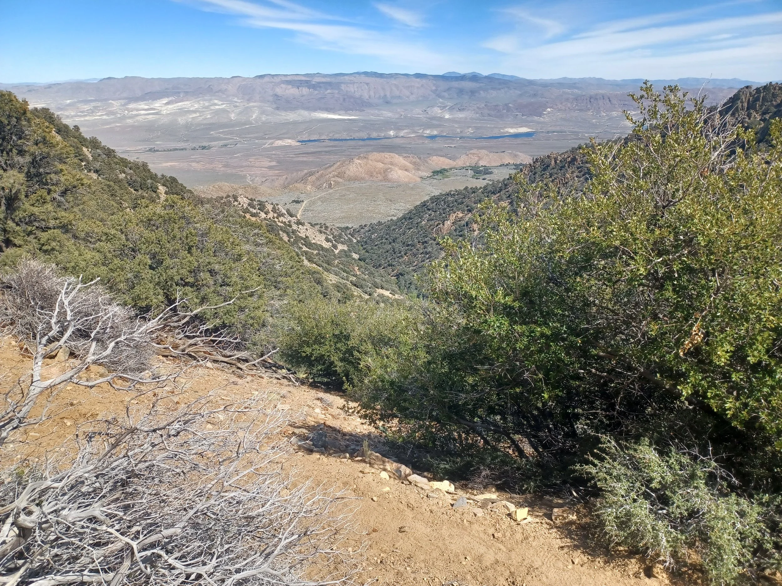
a long way down to the trailhead
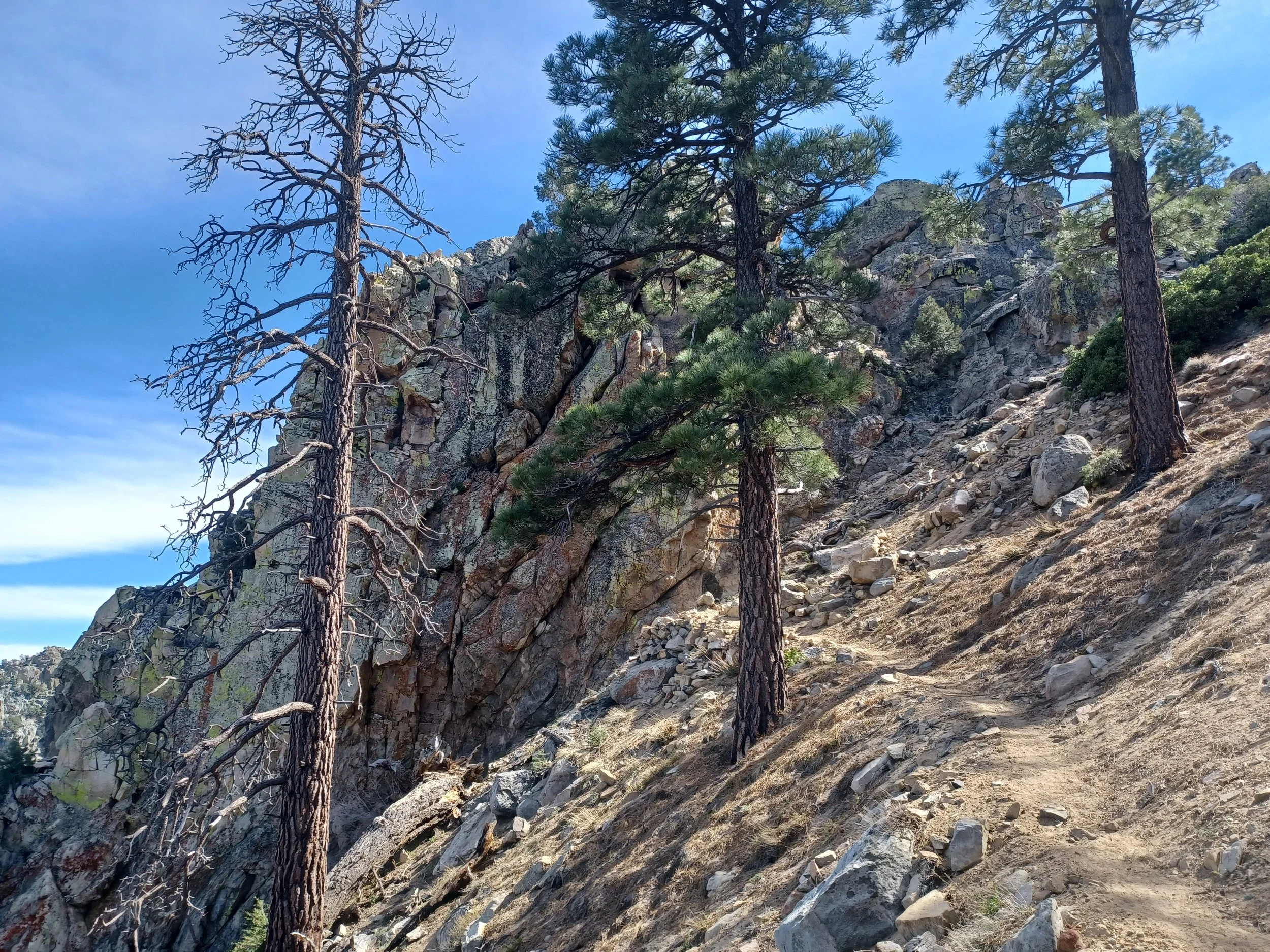
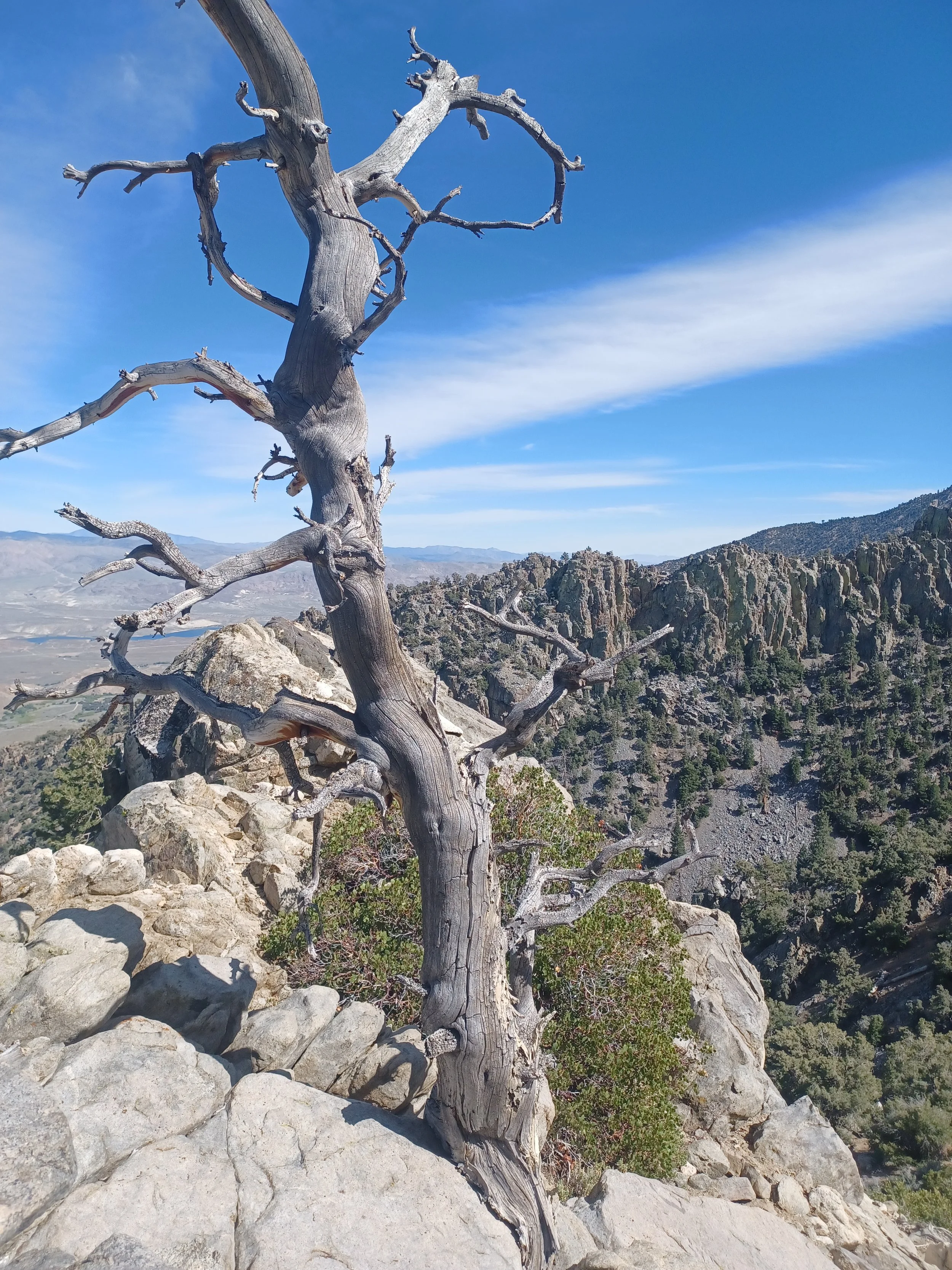
2 miles in, and 1900 feet elevation is good- enjoy the sun and return.